Agriculture is huge driver of the environmental and climate crisis, so finding ways to improve agricultural productivity and human wellbeing while also not harming or even improving the environment is a huge deal. TIST (The International Small Group and Tree Planting Program, website here) is using one of the proven methods to do just that: agroforestry.
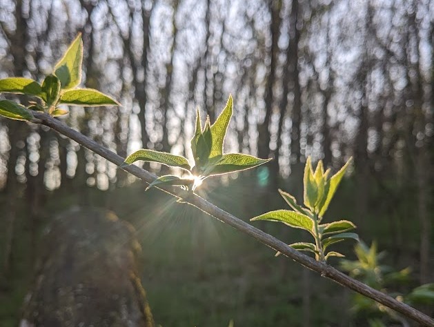
Agroforestry is essentially any way of incorporating trees into a farm: by interspersing with crops or pasture, planting trees as windbreaks or water barriers, or hedges. Trees improve the quality of soil, help retain water, control erosion, and cool the area through shade and evapotranspiration. Trees also help farmers by providing fuelwood, livestock fodder, or additional fruit or nut crops. Through TIST, locally-organized farmers are able to plant trees, get them verified, and sold as carbon credits (carbon credits, if you don’t know, are basically pledges to remove an amount of carbon from the atmosphere that can be purchased to “offset” emissions). This is an additional source of income for these smallholder farmers.
Agroforestry is recognized as a way to increase environmental and economic resilience to drought. Resilience, in the system dynamics sense, means how quickly a system can recover after a disturbance (in the ball rolling around the valley example, a deeper valley where the ball returns more quickly to the center after being pushed up the sides is “more resilient”). In Kenya, where many TIST farmers are, droughts are becoming more intense due to climate change. How much does agroforestry help though? And can we quantify that?
Thanks to the carbon credit verification by TIST members, we know exactly where the agroforestry groves are. And thanks to the many satellites that orbit the Earth, we have images of the area dating back years. I’m using satellite imagery to look at how green vegetation is in the Mount Kenya region and how quickly it recovers after droughts. Then, I will compare recovery rates in both TIST farms, non-TIST farms, and surrounding areas.
Below is an interactive map with a few examples of the type of data I’m working with. More posts to follow with results!
A rudimentary map I’ve made with Python and Folium. NDVI from Google Earth Engine. (If it’s not loading, try opening this page in a different browser.)